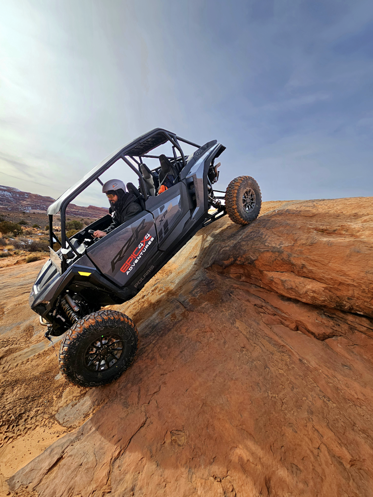
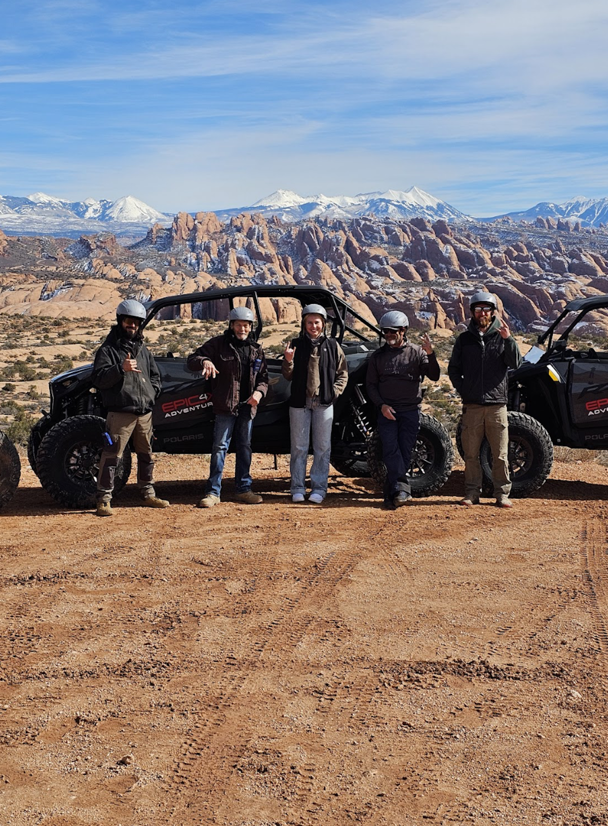
The fastest path to a legal, well-planned ride in Moab starts with two resources: download the Moab Field Office Motorized Travel Map (a free PDF from the Bureau of Land Management), then cache your chosen area offline in either OnX Offroad or Gaia GPS before you lose cell service on the way to the trailhead. Those three steps cover the core of what you need for Moab UTV trail maps.
Quick-start resources:
- Official PDF: BLM Moab Field Office Motorized Travel Map 2023 (1.9 MB, free download)
- Best public-land overlays: OnX Offroad (subscription)
- Best offline topo: Gaia GPS (subscription)
Immediate next step: Download the BLM PDF now and cache your ride area in your chosen app tonight, before you pack the truck.
Key Takeaways
The BLM Moab Field Office Motorized Travel Map is the single most important document for any UTV rider planning legal routes in Moab, and downloading it alongside a capable offline app covers the core of your navigation prep.
| Point | Details |
|---|---|
| Start with the official BLM map | Download the free Moab Field Office Motorized Travel Map PDF before any other planning step. |
| Cache your app before losing signal | Use OnX Offroad (best overlays) or Gaia GPS (best topo) and download the full ride area offline. |
| Know the legal requirements | Utah requires current OHV registration, education certificates where applicable, and street-legal compliance for city travel. |
| Follow Moab’s 15-mph city rule | Street-legal OHVs are limited to 15 mph on Moab city streets; additional noise and staging rules apply. |
| Epic4x4adventures removes the prep | A 2026 Polaris rental or guided tour includes built-in GPS, trail fees, and optional expert navigation. |
Table of Contents
- Where to get official Moab UTV trail maps
- The most-searched UTV trails in Moab, with map references
- Which map apps work best for Moab off-road navigation?
- How to use your Moab UTV trail maps and apps on the trail
- Where to get printable PDFs and paper maps in Moab
- UTV safety, rules, and permits: what you need before riding in Moab
- When does a guided UTV tour make more sense than DIY mapping?
- The honest case for knowing your maps before you go
- Skip the map prep and ride with Epic4x4adventures
- Sources
- FAQ
Where to get official Moab UTV trail maps
The BLM Moab Field Office Motorized Travel Map is the authoritative reference for designated motorized routes in the Moab area. It shows every legal OHV corridor, route symbology, and land-use boundary managed by the Bureau of Land Management’s Moab Field Office. This is the map that determines where you can legally ride, so it belongs on your phone and in your glove box.
The BLM also maintains a Utah travel and transportation maps index organized by field office, which is useful if your trip extends beyond the Moab Field Office boundary into adjacent BLM units. Each field office page lists its own motorized travel map, OHV designations, and any temporary route restrictions.
Utah’s Division of Outdoor Recreation runs a Maps & Trails hub that aggregates state and federal map resources in one place. It also reminds riders to verify where they can legally ride before heading out, which matters because route designations do change after storm damage or seasonal closures.
One practical note on map currency: the current BLM motorized travel map is dated 2023. Always check the map’s publication date and cross-reference it against any recent BLM field office notices, since a single flash flood can close a route that appeared open on last year’s PDF.
Pro Tip: Call the BLM Moab Field Office directly before your trip to ask about any closures or trailhead access changes that haven’t made it onto the published PDF yet. The Moab Information Center (also called the Moab Visitor Center, located at the corner of Main and Center streets) stocks printed maps and can answer the same questions in person.
The most-searched UTV trails in Moab, with map references
The BLM motorized routes PDF lists all of the trails below under its “Popular Motorized Routes” section, with official route symbology. Use it as your primary reference for trailhead coordinates and legal route boundaries.
Few access notes worth flagging: reaching the Sand Flats Recreation Area trailhead requires driving through Moab on city streets, where street-legal OHVs face a 15-mph speed limit and additional noise restrictions. Gemini Bridges has a popular shuttle option that lets you run the trail one-way, which simplifies logistics considerably. Poison Spider and Golden Spike share a trailhead but split into separate routes partway through, so confirm which route you intend to ride on the BLM map before you leave the parking area.
Which map apps work best for Moab off-road navigation?
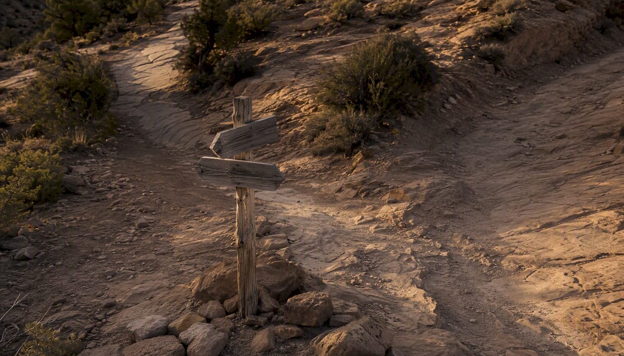
Four apps dominate the conversation among UTV riders planning Moab ATV trail maps and GPS navigation: OnX Offroad, Gaia GPS, Avenza Maps, and Polaris Ride Command. Each has a distinct strength, and the right pick depends on how you ride and how much pre-trip prep you’re willing to do.
| App | Best For | Offline Capability | Cost | Map Detail & Overlays | Navigation Features |
|---|---|---|---|---|---|
| OnX Offroad | Public-land overlays and route planning | Full area tile caching; download before leaving coverage | Subscription (annual or monthly) | BLM boundaries, motorized routes, private land boundaries, topo | Track recording, waypoints, POIs, trip sharing |
| Gaia GPS | Offline topo and multi-layer mapping | Large area caching; multiple base map layers downloadable | Subscription (annual or monthly) | USGS topo, satellite, BLM surface mgmt., motorized overlays | Track recording, waypoints, route import/export |
| Avenza Maps | Loading official agency georeferenced PDFs | Downloads individual GeoPDF files; works fully offline | Free (base app); map purchases vary | Official BLM PDFs with GPS dot overlay; no live routing | GPS position on official map; no turn-by-turn |
| Polaris Ride Command | Built-in Polaris vehicle integration | Offline map caching via app; syncs with in-dash display | Free app; full features tied to Polaris vehicles | Topo, trails, public land; community-sourced trail data | Turn-by-turn, group ride tracking, in-dash sync |
Quick recommendations:
- Best offline topo: Gaia GPS, for its depth of downloadable base layers and clean USGS topo rendering.
- Best public-land overlays: OnX Offroad, which shows BLM motorized route designations and private land boundaries with the clearest visual distinction of any consumer app.
- Best built-in Polaris integration: Polaris Ride Command, which syncs directly with the in-dash display on 2026 Polaris RZR vehicles and lets you coordinate group rides in real time.
- Best for loading official BLM maps: Avenza Maps, which accepts BLM’s georeferenced PDF packages and places a live GPS dot on the official agency map, no internet required.
The Utah Division of Outdoor Recreation’s OHV brochure recommends apps with public-land overlays and advises contacting field offices for current conditions, a reminder that no app substitutes for a quick phone call when trail conditions are uncertain.
Pro Tip: Before you leave cell coverage, cache a generous buffer around your planned route, not just the trail corridor itself. If you need to backtrack or take an alternate exit, you want tiles loaded for a wider area. In OnX Offroad and Gaia GPS, use the “download area” function and draw a box that extends several miles past your planned turnaround point.
How to use your Moab UTV trail maps and apps on the trail
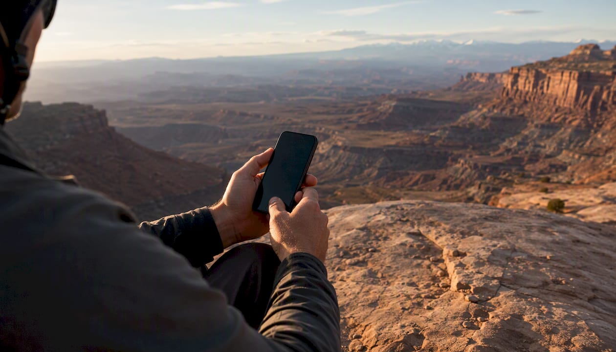
Getting the right maps is step one. Using them correctly before you lose signal is what actually keeps you on track.
- Download map tiles and the BLM PDF. In OnX Offroad or Gaia GPS, cache the full ride area at high zoom. In Avenza, import the BLM Moab Field Office Motorized Travel Map GeoPDF from the BLM Avenza resources page.
- Create and name key waypoints. Mark your trailhead, any planned bail points, the nearest paved road exit, and your fuel stop. Name them clearly (“Trailhead,” “Bail Point 1,” “Pavement”) so they’re readable under stress.
- Enable track recording before you move. Both OnX Offroad and Gaia GPS record your GPS breadcrumb trail automatically once you start. That track is your most reliable way back if you get turned around.
- Verify compass and GPS lock. Step outside and confirm your app shows your current location accurately before you drive away from the trailhead parking area.
- Check BLM motorized route designations on the map. Designated routes appear as specific line symbols on the BLM PDF. “Designated route” means you must stay on that corridor. “Open area” (rare in the Moab Field Office) means cross-country travel is permitted within the boundary. Most Moab trails are designated routes only.
Desert routes can change dramatically after a single storm. Outside Online’s Moab off-road guide notes that slickrock, sand traps, ruts, and flash floods can render a route impassable overnight, which is exactly why marking bail points in step 2 matters as much as knowing your primary route.
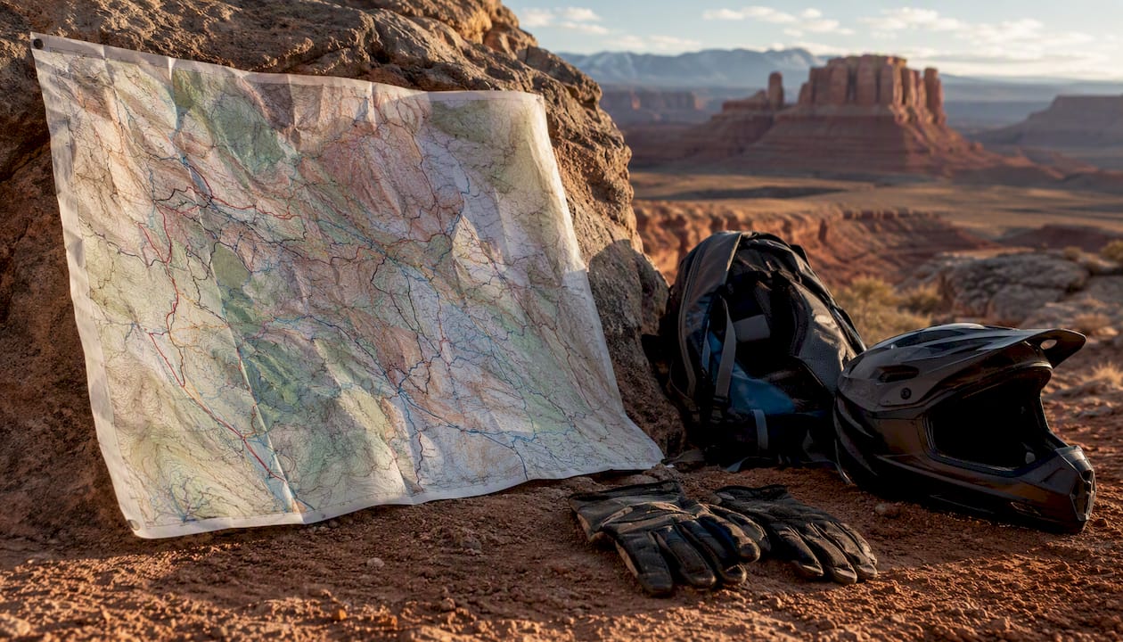
Pro Tip: Always carry a printed copy of the BLM motorized travel map in a waterproof sleeve or laminated sheet. Phone batteries die, screens crack, and apps freeze. A paper map costs nothing to print and weighs almost nothing to carry.
Where to get printable PDFs and paper maps in Moab
Two in-town locations stock printed maps and can answer trailhead questions directly.
The Moab Information Center (corner of Main and Center streets in downtown Moab) carries printed BLM maps, trail guides, and current condition updates from multiple agencies. Hours vary by season, so call ahead before you plan a stop on your way to the trailhead.
The BLM Moab Field Office (located on Dogwood Avenue) is the issuing agency for the motorized travel map and can provide the most current information on route closures, permit requirements, and seasonal restrictions. Staff there can also clarify what the map symbology means for a specific trail segment if you have questions.
For printing your own maps at home, download the BLM Moab Field Office Motorized Travel Map PDF and print at 1:24,000 or 1:50,000 scale for field use. If you’re focused on a single trail, crop the PDF to that corridor before printing to get a more readable sheet. Run it through a laminating pouch or use a waterproof map case. The BLM PDF is also loadable into Avenza as a GeoPDF, which gives you a GPS-enabled version of the same official map on your phone.
UTV safety, rules, and permits: what you need before riding in Moab
Your OHV must be registered and you must carry any required permits and education certificates before riding public lands in Utah. This is not optional, and BLM rangers do check.
Legal checklist:
- OHV registration: Utah requires current registration displayed on your vehicle. Non-resident permits and education certificates apply depending on your state of residence and the rider’s age.
- Utah OHV education certificate: Required for youth operators; adults riding on public lands should verify current requirements on the Utah Division of Outdoor Recreation site, as rules are updated periodically.
- Street-legal requirements: To drive your UTV through Moab city streets to reach a trailhead, the vehicle must meet Utah’s street-legal OHV standards (lights, mirrors, horn, and other equipment). Check Moab city’s OHV guidance for the full list.
- Speed limit on city streets: Street-legal OHVs are limited to 15 mph on Moab city streets. Additional noise and staging restrictions are in effect.
Safety checklist:
- Helmets and seatbelts are required for all occupants on public lands in Utah.
- Carry basic recovery gear: tow strap, shovel, and a tire repair kit at minimum.
- Plan water for the full day plus a reserve; desert heat and physical exertion consume more than most riders expect.
- Ride with at least one other vehicle when possible. A single-vehicle situation on a remote trail with no cell service is a serious risk.
- Monitor weather before and during your ride. Flash floods can move through canyon routes with no warning and no rain visible at your location.
15 mph is the OHV speed limit on Moab city streets for street-legal vehicles. Exceeding it carries fines and can affect your ability to access trailheads through town.
When does a guided UTV tour make more sense than DIY mapping?
A guided tour is the right call when local route knowledge, current trail conditions, and logistics are the variables you can’t confidently control on your own. That covers more situations than most first-time Moab visitors expect.
If you’ve never driven technical slickrock, the gap between reading a trail’s difficulty rating on a map and actually navigating it is significant. Slickrock lines that look straightforward on a PDF can require precise tire placement and throttle control that only comes with experience or a guide pointing the way. A guided trip removes that uncertainty entirely.
The practical benefits stack up quickly: your guide knows which sections of Kane Creek are flooded this week, whether the Sand Flats entrance fee changed, and where the best turnaround point is if your group is moving slower than planned. Apps provide the “where.” Guides to provide the “how” and the real-time conditions that no map can show.
Epic4x4adventures runs guided and you-drive UTV tours in Moab using a fleet of 2026 Polaris vehicles with built-in GPS navigation. Trail entry fees are included, and the optional guided format means a local expert handles route decisions and safety briefings while you focus on the ride. For families, first-timers, or anyone who wants a logistics-free day, that’s a meaningful difference from DIY map prep.
Booking timing matters too. Weekend slots during spring and fall fill weeks in advance. Weekday bookings are easier to secure and often mean less traffic on the trails themselves.
The honest case for knowing your maps before you go
There’s a version of Moab trip planning where you download one app, glance at a trail name, and assume the rest will work itself out. That approach produces the majority of the stuck-vehicle calls the BLM field office handles on busy weekends.
The riders who have the best experiences, guided or self-drive, are the ones who spent 30 minutes the night before their trip: they downloaded the BLM PDF, cached their app, marked their bail points, and confirmed their registration was current. That preparation doesn’t take the adventure out of the ride. It’s what makes the adventure possible.
Experienced riders with a reliable offline workflow and prior slickrock experience can handle most Moab trails confidently with the BLM map and OnX Offroad or Gaia GPS. First-timers, families, and anyone short on planning time are better served by a guided option, not because the trails are impossible, but because local knowledge genuinely changes the experience. Defaulting to a guided trip or a less technical nearby route when you’re unsure about current conditions is always the smarter call.
Skip the map prep and ride with Epic4x4adventures
Every Epic4x4adventures rental and tour comes with a 2026 Polaris vehicle equipped with built-in GPS navigation, so the map is already loaded when you sit down. Trail entry fees are included, the optional $0 damage deposit removes the biggest financial friction point, and guided tours add a local expert who knows current conditions on every route.
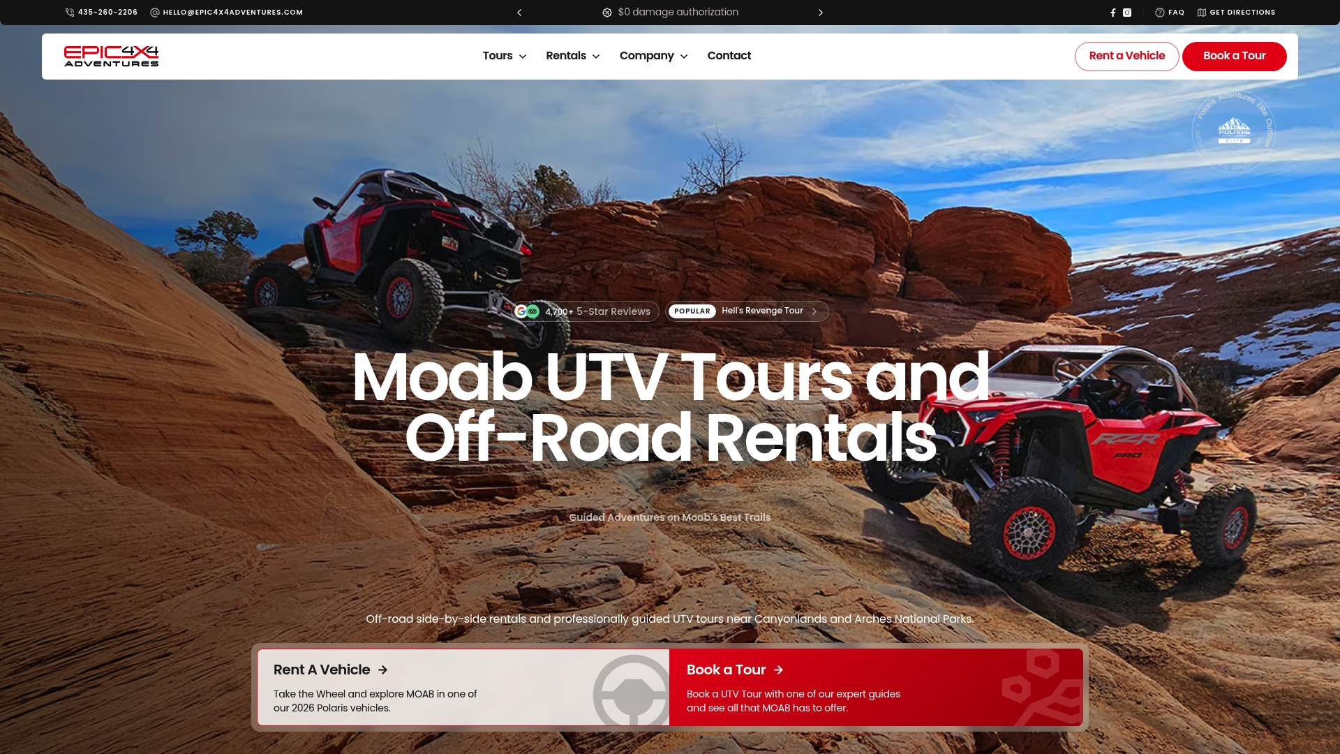
What booking saves you: no offline caching, no PDF printing, no permit confusion, and no guessing whether a trail is rideable this week. You show up, get a safety briefing, and ride.
- Fleet: 2026 Polaris RZR vehicles with built-in navigation
- Options: Self-drive rentals or fully guided tours
- Included: Trail entry fees, liability and medical coverage, climate-controlled vehicles
Check availability and book your Moab UTV rental directly on the Epic4x4adventures site. Spots fill fast on spring and fall weekends, so locking in your date early is worth the two minutes it takes.
Sources
- Moab Field Office Motorized Travel Map 2023 | Bureau of Land Management
- Maps - Utah Outdoor Recreation
- Utah OHV registration and permits | resident & non-resident permits
- OHVs In Moab
FAQ
What are the best UTV trails in Moab?
Hell’s Revenge, Fins and Things, Gemini Bridges, and Poison Spider/Golden Spike are among the most popular, all listed in the BLM Moab Field Office Motorized Travel Map. Difficulty ranges from moderate (Gemini Bridges) to difficult (Hell’s Revenge and Poison Spider).
What is the best app for Moab UTV GPS navigation?
OnX Offroad leads for public-land overlays and BLM motorized route visibility; Gaia GPS is the stronger pick for offline topo depth. Polaris Ride Command is the best choice if you’re riding a Polaris vehicle with an in-dash display, since it syncs directly with the vehicle’s built-in navigation.
Can you drive a UTV through Moab to reach a trailhead?
Yes, if your UTV meets Utah’s street-legal OHV requirements. Moab city allows street-legal OHVs on city streets but enforces a 15-mph speed limit and noise restrictions, so confirm your vehicle qualifies before driving through town.
Where can I find printable Moab off-road maps?
Download the free BLM Moab Field Office Motorized Travel Map PDF from the BLM website, print at 1:24,000 or 1:50,000 scale, and laminate it for field use. The Moab Information Center and BLM Moab Field Office also stock printed maps for pickup in town.
Does Epic4x4adventures handle navigation for you?
Yes. Every Epic4x4adventures vehicle comes with built-in GPS navigation, and guided tours include a local expert who manages route decisions and provides real-time trail condition updates, so you don’t need to prep your own Moab UTV trail maps to ride with them. View available tours and rentals to see current options.
Recommended
The fastest path to a legal, well-planned ride in Moab starts with two resources: download the Moab Field Office Motorized Travel Map (a free PDF from the Bureau of Land Management), then cache your chosen area offline in either OnX Offroad or Gaia GPS before you lose cell service on the way to the trailhead. Those three steps cover the core of what you need for Moab UTV trail maps.
Quick-start resources:
- Official PDF: BLM Moab Field Office Motorized Travel Map 2023 (1.9 MB, free download)
- Best public-land overlays: OnX Offroad (subscription)
- Best offline topo: Gaia GPS (subscription)
Immediate next step: Download the BLM PDF now and cache your ride area in your chosen app tonight, before you pack the truck.
Key Takeaways
The BLM Moab Field Office Motorized Travel Map is the single most important document for any UTV rider planning legal routes in Moab, and downloading it alongside a capable offline app covers the core of your navigation prep.
| Point | Details |
|---|---|
| Start with the official BLM map | Download the free Moab Field Office Motorized Travel Map PDF before any other planning step. |
| Cache your app before losing signal | Use OnX Offroad (best overlays) or Gaia GPS (best topo) and download the full ride area offline. |
| Know the legal requirements | Utah requires current OHV registration, education certificates where applicable, and street-legal compliance for city travel. |
| Follow Moab’s 15-mph city rule | Street-legal OHVs are limited to 15 mph on Moab city streets; additional noise and staging rules apply. |
| Epic4x4adventures removes the prep | A 2026 Polaris rental or guided tour includes built-in GPS, trail fees, and optional expert navigation. |
Table of Contents
- Where to get official Moab UTV trail maps
- The most-searched UTV trails in Moab, with map references
- Which map apps work best for Moab off-road navigation?
- How to use your Moab UTV trail maps and apps on the trail
- Where to get printable PDFs and paper maps in Moab
- UTV safety, rules, and permits: what you need before riding in Moab
- When does a guided UTV tour make more sense than DIY mapping?
- The honest case for knowing your maps before you go
- Skip the map prep and ride with Epic4x4adventures
- Sources
- FAQ
Where to get official Moab UTV trail maps
The BLM Moab Field Office Motorized Travel Map is the authoritative reference for designated motorized routes in the Moab area. It shows every legal OHV corridor, route symbology, and land-use boundary managed by the Bureau of Land Management’s Moab Field Office. This is the map that determines where you can legally ride, so it belongs on your phone and in your glove box.
The BLM also maintains a Utah travel and transportation maps index organized by field office, which is useful if your trip extends beyond the Moab Field Office boundary into adjacent BLM units. Each field office page lists its own motorized travel map, OHV designations, and any temporary route restrictions.
Utah’s Division of Outdoor Recreation runs a Maps & Trails hub that aggregates state and federal map resources in one place. It also reminds riders to verify where they can legally ride before heading out, which matters because route designations do change after storm damage or seasonal closures.
One practical note on map currency: the current BLM motorized travel map is dated 2023. Always check the map’s publication date and cross-reference it against any recent BLM field office notices, since a single flash flood can close a route that appeared open on last year’s PDF.
Pro Tip: Call the BLM Moab Field Office directly before your trip to ask about any closures or trailhead access changes that haven’t made it onto the published PDF yet. The Moab Information Center (also called the Moab Visitor Center, located at the corner of Main and Center streets) stocks printed maps and can answer the same questions in person.
The most-searched UTV trails in Moab, with map references
The BLM motorized routes PDF lists all of the trails below under its “Popular Motorized Routes” section, with official route symbology. Use it as your primary reference for trailhead coordinates and legal route boundaries.
Few access notes worth flagging: reaching the Sand Flats Recreation Area trailhead requires driving through Moab on city streets, where street-legal OHVs face a 15-mph speed limit and additional noise restrictions. Gemini Bridges has a popular shuttle option that lets you run the trail one-way, which simplifies logistics considerably. Poison Spider and Golden Spike share a trailhead but split into separate routes partway through, so confirm which route you intend to ride on the BLM map before you leave the parking area.
Which map apps work best for Moab off-road navigation?
Four apps dominate the conversation among UTV riders planning Moab ATV trail maps and GPS navigation: OnX Offroad, Gaia GPS, Avenza Maps, and Polaris Ride Command. Each has a distinct strength, and the right pick depends on how you ride and how much pre-trip prep you’re willing to do.
| App | Best For | Offline Capability | Cost | Map Detail & Overlays | Navigation Features |
|---|---|---|---|---|---|
| OnX Offroad | Public-land overlays and route planning | Full area tile caching; download before leaving coverage | Subscription (annual or monthly) | BLM boundaries, motorized routes, private land boundaries, topo | Track recording, waypoints, POIs, trip sharing |
| Gaia GPS | Offline topo and multi-layer mapping | Large area caching; multiple base map layers downloadable | Subscription (annual or monthly) | USGS topo, satellite, BLM surface mgmt., motorized overlays | Track recording, waypoints, route import/export |
| Avenza Maps | Loading official agency georeferenced PDFs | Downloads individual GeoPDF files; works fully offline | Free (base app); map purchases vary | Official BLM PDFs with GPS dot overlay; no live routing | GPS position on official map; no turn-by-turn |
| Polaris Ride Command | Built-in Polaris vehicle integration | Offline map caching via app; syncs with in-dash display | Free app; full features tied to Polaris vehicles | Topo, trails, public land; community-sourced trail data | Turn-by-turn, group ride tracking, in-dash sync |
Quick recommendations:
- Best offline topo: Gaia GPS, for its depth of downloadable base layers and clean USGS topo rendering.
- Best public-land overlays: OnX Offroad, which shows BLM motorized route designations and private land boundaries with the clearest visual distinction of any consumer app.
- Best built-in Polaris integration: Polaris Ride Command, which syncs directly with the in-dash display on 2026 Polaris RZR vehicles and lets you coordinate group rides in real time.
- Best for loading official BLM maps: Avenza Maps, which accepts BLM’s georeferenced PDF packages and places a live GPS dot on the official agency map, no internet required.
The Utah Division of Outdoor Recreation’s OHV brochure recommends apps with public-land overlays and advises contacting field offices for current conditions, a reminder that no app substitutes for a quick phone call when trail conditions are uncertain.
Pro Tip: Before you leave cell coverage, cache a generous buffer around your planned route, not just the trail corridor itself. If you need to backtrack or take an alternate exit, you want tiles loaded for a wider area. In OnX Offroad and Gaia GPS, use the “download area” function and draw a box that extends several miles past your planned turnaround point.
How to use your Moab UTV trail maps and apps on the trail
Getting the right maps is step one. Using them correctly before you lose signal is what actually keeps you on track.
- Download map tiles and the BLM PDF. In OnX Offroad or Gaia GPS, cache the full ride area at high zoom. In Avenza, import the BLM Moab Field Office Motorized Travel Map GeoPDF from the BLM Avenza resources page.
- Create and name key waypoints. Mark your trailhead, any planned bail points, the nearest paved road exit, and your fuel stop. Name them clearly (“Trailhead,” “Bail Point 1,” “Pavement”) so they’re readable under stress.
- Enable track recording before you move. Both OnX Offroad and Gaia GPS record your GPS breadcrumb trail automatically once you start. That track is your most reliable way back if you get turned around.
- Verify compass and GPS lock. Step outside and confirm your app shows your current location accurately before you drive away from the trailhead parking area.
- Check BLM motorized route designations on the map. Designated routes appear as specific line symbols on the BLM PDF. “Designated route” means you must stay on that corridor. “Open area” (rare in the Moab Field Office) means cross-country travel is permitted within the boundary. Most Moab trails are designated routes only.
Desert routes can change dramatically after a single storm. Outside Online’s Moab off-road guide notes that slickrock, sand traps, ruts, and flash floods can render a route impassable overnight, which is exactly why marking bail points in step 2 matters as much as knowing your primary route.
Pro Tip: Always carry a printed copy of the BLM motorized travel map in a waterproof sleeve or laminated sheet. Phone batteries die, screens crack, and apps freeze. A paper map costs nothing to print and weighs almost nothing to carry.
Where to get printable PDFs and paper maps in Moab
Two in-town locations stock printed maps and can answer trailhead questions directly.
The Moab Information Center (corner of Main and Center streets in downtown Moab) carries printed BLM maps, trail guides, and current condition updates from multiple agencies. Hours vary by season, so call ahead before you plan a stop on your way to the trailhead.
The BLM Moab Field Office (located on Dogwood Avenue) is the issuing agency for the motorized travel map and can provide the most current information on route closures, permit requirements, and seasonal restrictions. Staff there can also clarify what the map symbology means for a specific trail segment if you have questions.
For printing your own maps at home, download the BLM Moab Field Office Motorized Travel Map PDF and print at 1:24,000 or 1:50,000 scale for field use. If you’re focused on a single trail, crop the PDF to that corridor before printing to get a more readable sheet. Run it through a laminating pouch or use a waterproof map case. The BLM PDF is also loadable into Avenza as a GeoPDF, which gives you a GPS-enabled version of the same official map on your phone.
UTV safety, rules, and permits: what you need before riding in Moab
Your OHV must be registered and you must carry any required permits and education certificates before riding public lands in Utah. This is not optional, and BLM rangers do check.
Legal checklist:
- OHV registration: Utah requires current registration displayed on your vehicle. Non-resident permits and education certificates apply depending on your state of residence and the rider’s age.
- Utah OHV education certificate: Required for youth operators; adults riding on public lands should verify current requirements on the Utah Division of Outdoor Recreation site, as rules are updated periodically.
- Street-legal requirements: To drive your UTV through Moab city streets to reach a trailhead, the vehicle must meet Utah’s street-legal OHV standards (lights, mirrors, horn, and other equipment). Check Moab city’s OHV guidance for the full list.
- Speed limit on city streets: Street-legal OHVs are limited to 15 mph on Moab city streets. Additional noise and staging restrictions are in effect.
Safety checklist:
- Helmets and seatbelts are required for all occupants on public lands in Utah.
- Carry basic recovery gear: tow strap, shovel, and a tire repair kit at minimum.
- Plan water for the full day plus a reserve; desert heat and physical exertion consume more than most riders expect.
- Ride with at least one other vehicle when possible. A single-vehicle situation on a remote trail with no cell service is a serious risk.
- Monitor weather before and during your ride. Flash floods can move through canyon routes with no warning and no rain visible at your location.
15 mph is the OHV speed limit on Moab city streets for street-legal vehicles. Exceeding it carries fines and can affect your ability to access trailheads through town.
When does a guided UTV tour make more sense than DIY mapping?
A guided tour is the right call when local route knowledge, current trail conditions, and logistics are the variables you can’t confidently control on your own. That covers more situations than most first-time Moab visitors expect.
If you’ve never driven technical slickrock, the gap between reading a trail’s difficulty rating on a map and actually navigating it is significant. Slickrock lines that look straightforward on a PDF can require precise tire placement and throttle control that only comes with experience or a guide pointing the way. A guided trip removes that uncertainty entirely.
The practical benefits stack up quickly: your guide knows which sections of Kane Creek are flooded this week, whether the Sand Flats entrance fee changed, and where the best turnaround point is if your group is moving slower than planned. Apps provide the “where.” Guides to provide the “how” and the real-time conditions that no map can show.
Epic4x4adventures runs guided and you-drive UTV tours in Moab using a fleet of 2026 Polaris vehicles with built-in GPS navigation. Trail entry fees are included, and the optional guided format means a local expert handles route decisions and safety briefings while you focus on the ride. For families, first-timers, or anyone who wants a logistics-free day, that’s a meaningful difference from DIY map prep.
Booking timing matters too. Weekend slots during spring and fall fill weeks in advance. Weekday bookings are easier to secure and often mean less traffic on the trails themselves.
The honest case for knowing your maps before you go
There’s a version of Moab trip planning where you download one app, glance at a trail name, and assume the rest will work itself out. That approach produces the majority of the stuck-vehicle calls the BLM field office handles on busy weekends.
The riders who have the best experiences, guided or self-drive, are the ones who spent 30 minutes the night before their trip: they downloaded the BLM PDF, cached their app, marked their bail points, and confirmed their registration was current. That preparation doesn’t take the adventure out of the ride. It’s what makes the adventure possible.
Experienced riders with a reliable offline workflow and prior slickrock experience can handle most Moab trails confidently with the BLM map and OnX Offroad or Gaia GPS. First-timers, families, and anyone short on planning time are better served by a guided option, not because the trails are impossible, but because local knowledge genuinely changes the experience. Defaulting to a guided trip or a less technical nearby route when you’re unsure about current conditions is always the smarter call.
Skip the map prep and ride with Epic4x4adventures
Every Epic4x4adventures rental and tour comes with a 2026 Polaris vehicle equipped with built-in GPS navigation, so the map is already loaded when you sit down. Trail entry fees are included, the optional $0 damage deposit removes the biggest financial friction point, and guided tours add a local expert who knows current conditions on every route.
What booking saves you: no offline caching, no PDF printing, no permit confusion, and no guessing whether a trail is rideable this week. You show up, get a safety briefing, and ride.
- Fleet: 2026 Polaris RZR vehicles with built-in navigation
- Options: Self-drive rentals or fully guided tours
- Included: Trail entry fees, liability and medical coverage, climate-controlled vehicles
Check availability and book your Moab UTV rental directly on the Epic4x4adventures site. Spots fill fast on spring and fall weekends, so locking in your date early is worth the two minutes it takes.
Sources
- Moab Field Office Motorized Travel Map 2023 | Bureau of Land Management
- Maps - Utah Outdoor Recreation
- Utah OHV registration and permits | resident & non-resident permits
- OHVs In Moab
FAQ
What are the best UTV trails in Moab?
Hell’s Revenge, Fins and Things, Gemini Bridges, and Poison Spider/Golden Spike are among the most popular, all listed in the BLM Moab Field Office Motorized Travel Map. Difficulty ranges from moderate (Gemini Bridges) to difficult (Hell’s Revenge and Poison Spider).
What is the best app for Moab UTV GPS navigation?
OnX Offroad leads for public-land overlays and BLM motorized route visibility; Gaia GPS is the stronger pick for offline topo depth. Polaris Ride Command is the best choice if you’re riding a Polaris vehicle with an in-dash display, since it syncs directly with the vehicle’s built-in navigation.
Can you drive a UTV through Moab to reach a trailhead?
Yes, if your UTV meets Utah’s street-legal OHV requirements. Moab city allows street-legal OHVs on city streets but enforces a 15-mph speed limit and noise restrictions, so confirm your vehicle qualifies before driving through town.
Where can I find printable Moab off-road maps?
Download the free BLM Moab Field Office Motorized Travel Map PDF from the BLM website, print at 1:24,000 or 1:50,000 scale, and laminate it for field use. The Moab Information Center and BLM Moab Field Office also stock printed maps for pickup in town.
Does Epic4x4adventures handle navigation for you?
Yes. Every Epic4x4adventures vehicle comes with built-in GPS navigation, and guided tours include a local expert who manages route decisions and provides real-time trail condition updates, so you don’t need to prep your own Moab UTV trail maps to ride with them. View available tours and rentals to see current options.